5 päeva ilmaprognoos Toronto 28-07-2026
Ilmaprognoos Toronto teisipäev, 28. juuli 28.07.2026: nõrk vihmahoog, temperatuur 19 °C kuni 24 °C.
Sademete tõenäosus 82%. Tuul kuni 3.19 m/s (iilid 4.53 m/s). Õhuniiskus 72–97%, õhurõhk 751–755 mm Hg, UV-indeks kuni 6.
5 päeva ühe pilguga — puuduta päeva, et see avada
Päikesetõus 06:02
Päikeseloojang 20:45
Päikeseloojang 20:45
Täiskuu100% valgustatud
Kuutõus 20:44 · Kuuloojang 05:02
Kuutõus 20:44 · Kuuloojang 05:02
Graafik
TabelT, 28. juuli 2026
Prognoos 19 °C kuni 24 °C ja sademed
Pilvisus ja sademete tõenäosus
Tuulekiirus ja -suund
Õhuniiskus
Õhurõhk
Ultraviolettkiirguse indeks
T, 28. juuli 2026
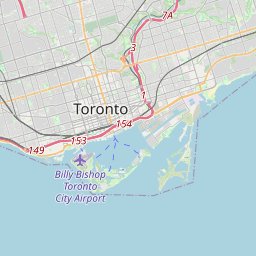
Toronto kaardil
Andmeallikad ja metoodika
Meie ilmaprognoosid põhinevad professionaalsel ilmaandmete pakkujal, mis koondab andmeid riiklikelt ilmateenistustelt, satelliidivaatlustelt, radarivõrkudelt ja enam kui 80 000 ilmajaamalt üle maailma. Prognoosiandmeid uuendatakse mitu korda päevas. Me teisendame toorandmed selgeteks kokkuvõteteks – tuulekiirus m/s-des, rõhk mmHg-des – et saaksite oma päeva enesekindlalt planeerida.